By RNZ.co.nz and is republished with permission
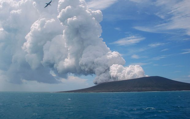
Satellite imagery shows the island of Hunga Tonga Hunga Ha’apai has grown in size while the underwater volcano erupts into its sixth day.

Tonga’s head geologist Taniela Kula has been monitoring the eruption all week, which erupted again this morning.
While observations have had to be kept to a distance, new satellite imagery shows the island’s land mass has grown since Monday.
“The island has grown 300-600metres to the eastern side. So it has widened up a bit. [The debris] has been building up the island, building up the rim of the vents,” Kula said.
Today’s ash clouds had fallen back into the ocean in a 10km radius, he said.
The volcano has an active history, last erupting in 2014/15 and before that in 2009.
In 2015, Tongan government officials said eruptions at Hunga Ha’apai had formed a new island more than a kilometre long, joined to the existing island.
It has reportedly become a home for plants and birds.
More satellite footage will be sent to Kula and his team monitoring the eruption this afternoon.


