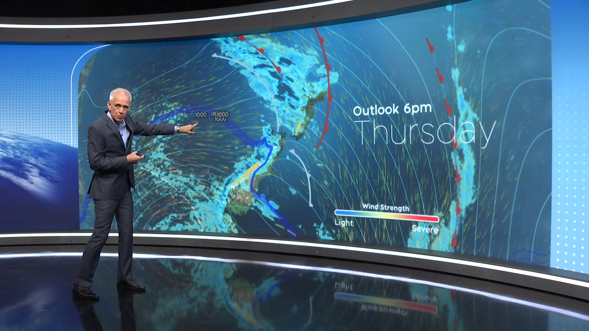
Unstable northwesterly flow to set in later on Thursday, with embedded fronts crossing the country at times.
Gales and heavy rain for lower North and South islands
Winter is having a last hurrah before the arrival of spring this weekend, with heavy rain and severe gales forecast to lash the lower North Island and South Island over the next 24 hours.
“You’re going to be certainly using those raincoats over the course of the next several days, and quite a nasty spell tomorrow,” 1News weather presenter Corbett said.
“We of course get towards the end of winter, the beginning of meteorological spring and that’s where you just get real contrast of air masses – warmth coming out of Australia, the cold still coming from the Southern Ocean and that provides some really nasty weather.
“[It will be] a rough-looking day tomorrow and there’s more working through the weekend and even into next week.”
MetService said fronts “embedded in a strong northwesterly flow” are expected to hit the country late today and tomorrow.
“Heavy rain is likely for Fiordland and Westland but it looks unlikely that these areas will reach their warning criteria of 150mm in 24 hours,” it said.
The meteorological service said heavy rain may affect other parts of the country, while severe northwest gales may batter parts of the lower North Island and South Island.
Heavy rain watches are in place for the Tararua Ranges from 11am to 11pm tomorrow; the ranges of Westland south of Arthurs Pass from midnight tonight to 9pm on Thursday; and the headwaters of the Canterbury lakes and rivers south of Arthurs Pass from midnight tonight to 8pm tomorrow.
MetService is forecasting periods of heavy rain, during which amounts may reach warning criteria.
Meanwhile, strong wind watches are in place for Wairarapa, Wellington and the Marlborough Sounds from 4am to 4pm tomorrow; the Canterbury high country from 9pm tonight to 6am tomorrow; and Fiordland, Southland northwest of Riverside, Queenstown Lakes District, and Central Otago from 4pm today to 3am tomorrow.
MetService warned damage to trees, powerlines, and unsecured structures are possible. Driving may also be difficult, particularly for high-sided vehicles and motorcycles.
Information on the latest forecasts can be found on the MetService website.


