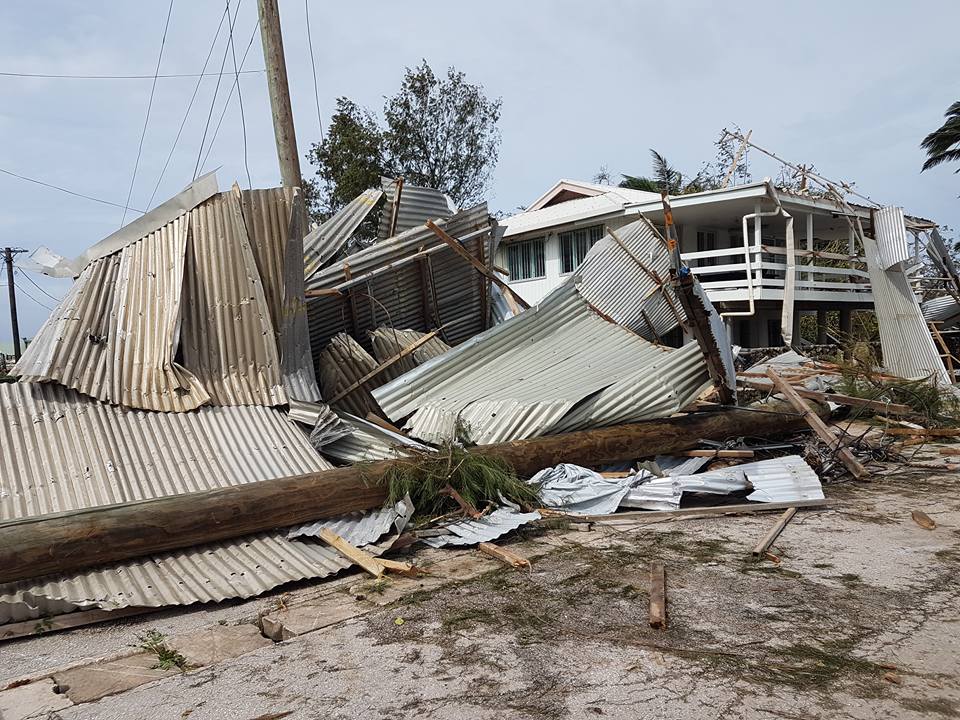
Prime Minister ‘Akilisi Pōhiva launched the 10 year Pacific Geospatial and Surveying Council Strategy in Tonga on April 19.
He said coming in the wake of Cyclone Gita, the strategy emphasised the role of geospatial information and surveying in damage assessment stages and rebuilding plans.
“There will always be natural disasters and hazards in our region and we must continue to build our national and regional capacities to anticipate and respond to these,” he said.
Geospatial surveying uses technologies such as GPS, satellite imagery, laser mapping, aerial and satellite imagery and fast computing to create complex geographic information.
Geospatial information can play a key role strategic planning and financing that contributes to informed decision-making and sustainable growth.
In some countries which are prone to flooding, highly complex and detailed maps can be produced showing locations of communities, water flows and runoff areas.
“The Ministry of Lands and Natural Resources had been extremely busy with recovery work for the past two months, but I commend them also in their dedication to the long-term regional vision of the PGSC,” Hon. Pohiva said.
The PGSC meetings are organised by the Pacific Community (SPC) with support from the Australian-funded Climate and Oceans Support Programme in the Pacific.
“The growing number of initiatives in recent years and the launch of this strategy are signs of a strong regional voice for geospatial and survey professionals,” Akuila Tawake, Deputy Director for Geo-resources and Energy said.
The main points
- Prime Minister ‘Akilisi Pohiva launched the 10 year Pacific Geospatial and Surveying Council Strategy in Tonga yesterday (April 19).
- He said coming in the wake of Cyclone Gita, the strategy emphasised the role of geospatial information and surveying in damage assessment stages and rebuilding plans.
For more information
Pacific and New Zealand surveying and geospatial professionals join forces for capacity development


